
My recent visit to the Yukon [Yukon Territory, or YT] has not only been interesting against all expectations, but was an educational experience, and different in many ways. By the way, Yukon officially became a territory of Canada on June 13, 1898. The Yukon is amazing with its natural wonders. The Yukon River is he second largest in Canada, its mountains are the highest in Canada.
Our tour focused on Whitehorse, YT and its heritage vintage venues and cultural treasures, to be topped off by the exiting historical railway journey from Carcross (South East of Whitehorse) through the Coastal Mountain ranges south to Skagway, Alaska. From there sailing back to Vancouver through Glacier Bay National Park and British Columbia’s Inside Passage.
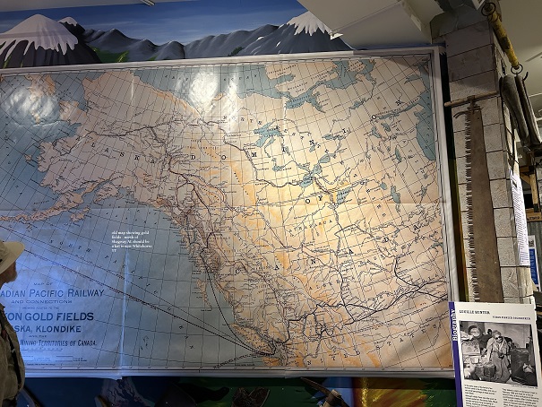
We flew from Vancouver to Whitehorse, the Capital of Yukon. I had prepared myself with mosquito spray and a mosquito net. Not necessary at all. It was warm throughout this trip and not one mosquito. There is a wealth of heritage preservation and a strong connection to indigenous cultures. From a historical point of view, the Yukon is particularly interesting because of course of its GOLD. The discovery of gold is what drives the early history of this Canadian territory and Alaska and connects them. [KLONDIKE originates from Tr’ondëk, a word in the Hän language of the local First Nations in the Yukon. It translates roughly to “hammerstone water,”]. Massive gold deposits on Rabbit Creek (renamed Bonanza Creek), located near the confluence of the Klondike and Yukon Rivers triggered one of the world’s most famous gold rushes. Yukon still has massive gold reserves, but 75% of the placer gold is hidden in undiscovered deposits.
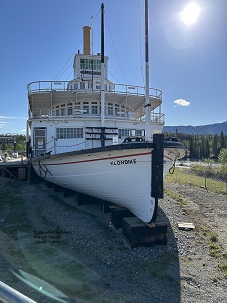
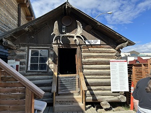
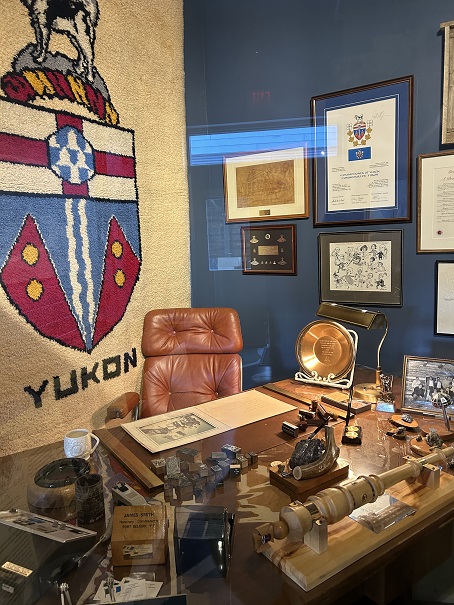
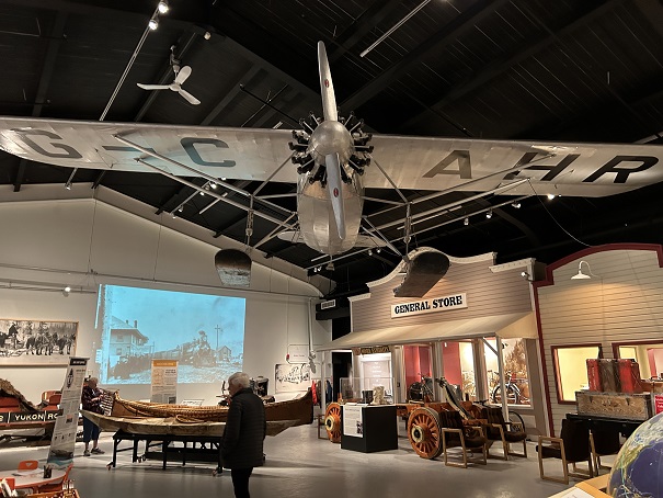
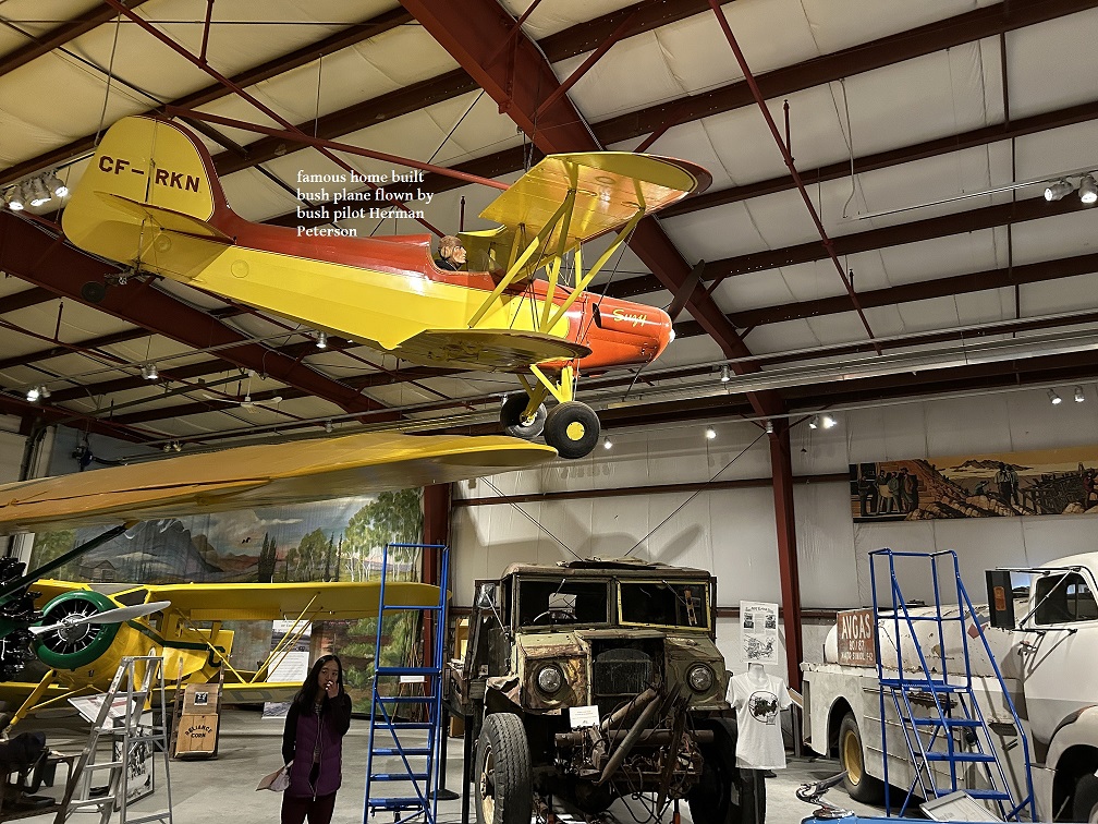
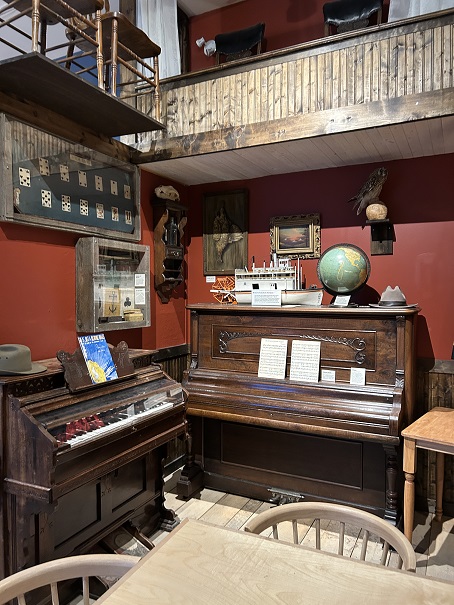
During the three days in Whitehorse, we visited a number of historical venues in and around Whitehorse: S.S. Klondike National Historic Site shows the old stern wheeler, built 1937, now dry-docked on the bank of the Yukon River. The McBride Museum displays a large selection of original gold miners paraphernalia. Heritage galore ! The Yukon Transportation Museum has original old bush planes exhibited as well as railroad and early vehicles items. As a top-off a visit to the Eclipse Nordic Hot Springs out side of Whitehorse (sorry, no pictures allowed).

WHITE PASS & YUKON ROUTE – RAILROAD [In short the WP&YR]
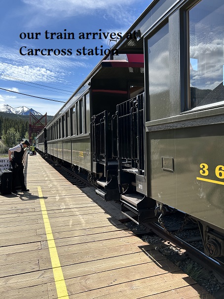
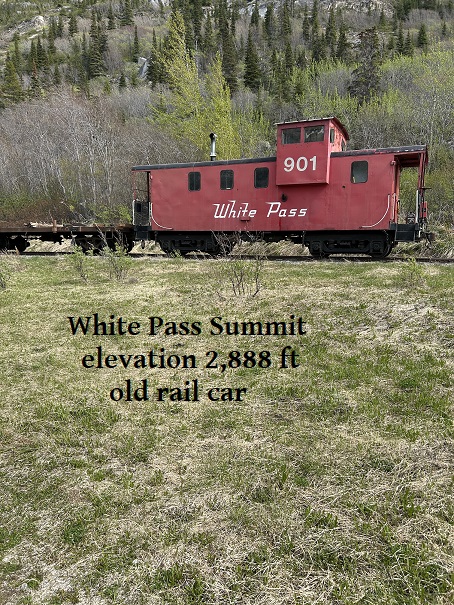
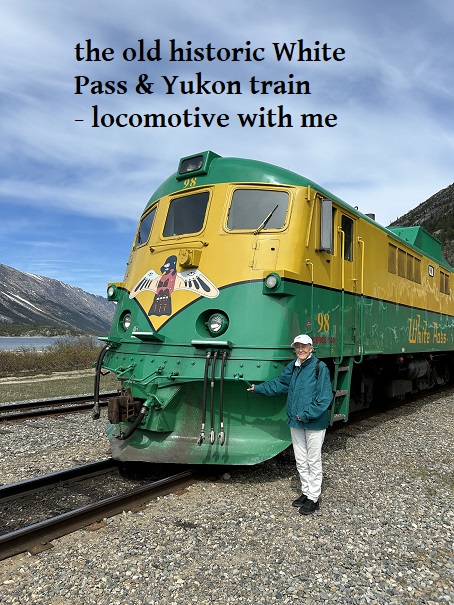
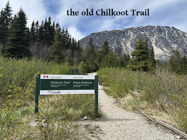
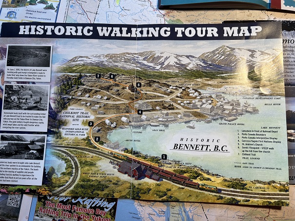
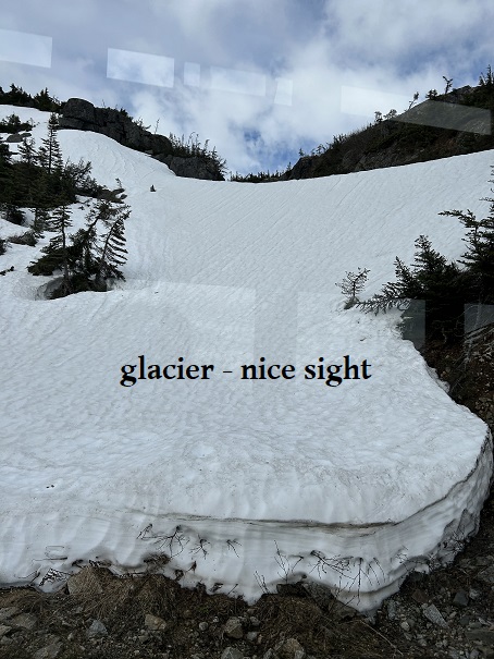
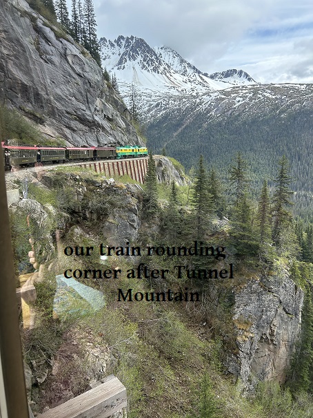
The most interesting part of this tour has been the historical railroad journey from Carcross, Y.T. ( just south of Whitehorse) to Skagway, AL. Following the discovery of gold in 1896, this railroad was intended to make it easier for the gold miners to cross the high mountain passes, instead of using the Chilkoot Trail, now a national historic site. The railroad was completed in 1900. On a narrow-gauge track it had started in Skagway, Alaska – elevation 0, and ended at Carcross, Yukon, elevation 2,159ft. Crossing the steepest mountain passes at an elevation of 2,888ft at the White Pass Summit. Today the train is used solely for tourists to travel booth ways. Along this route we also stopped at several historic locations, like the old town of Bennett and walking the trail in the mountains by the Chilkoot pass. This railway trip is 46km, approximately 4 hours with stops in between. We sighted several black bears on our train trip. It was a comfortable easy ride with terrific vistas along the 41km of Bennett Lake and seeing this old train making its way around the steep mountains.
FROM SKAGWAY, ALASKA CRUISING BACK TO VANCOUVER, BC
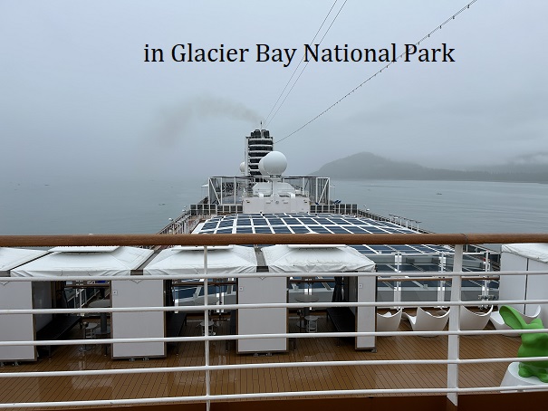
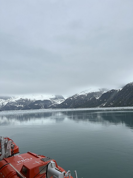
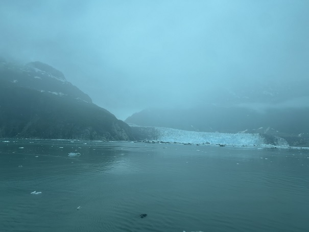
Skagway today is solely a tourist trap. It was an old historic town and had a strong connection with the gold rush. Most large cruise ships, however, are leaving from here or are docking here. Having boarded the cruise ship and sailing South through Glacier Bay National Park, Alaska and the Inside Passage, British Columbia, hoping to spot some remaining glaciers. Unfortunately it was foggy and no good enough sight for some decent photos.
 LIFE's STORIES, ADVENTURES & TRAVELS
Grizzly Bears in British Columbia
Grizzly Bear trophy hunt – meaning that a bear is being killed and stripped of its pelt, and that more than ever it is the European (so-called) hunters who come to British Columbia, to partake in the (rather liberally set provincial quota for) hunting and killing those animals.
[ http://www.cbc.ca/news/canada/british-columbia/grizzly-bears-overhunted-in-b-c-say-researchers-1.2417306 ] .
So, what is the point exactly of stripping a bear of its pelt and hanging it up on the wall ? Or do they use the bear pelts as carpeting ? Or do they think that there is a major market for any of its parts ? maybe in China ?
I cannot see the point of it, yet. For example, a Norwegian traveling all the way to the most Western Canadian Province, British Columbia, in order to return back home with the skin of one of the most intelligent animals. One of the remnants of a Grizzly bear population that has been shrinking to only pockets in Western Canada.
While the BC government claims that set quotas are scientifically proven (or, should I say “clinically proven” ?), scientists here who study the Grizzly bear population know otherwise. [http://www.theglobeandmail.com/news/british-columbia/grizzly-bear-kill-limits-being-broken-across-bc-study-says/article15301716/ ]
And don’t you hate it, when a government agency (these are not professionals or scientists, but politicians with no science or even statistical background), determines how many bears can be killed in one season. Don’t tell me, female bears are also included ? ! And who is controlling the hunt ? Any member of those BC governmental agencies ? Is anybody out there in the cold and the wilds to check if the “right” bear is killed ? [Reminds me of the Right Whale in the 19th and 20th century, who were almost completely exterminated. – http://www.independent.co.uk/environment/north-atlantic-right-whales-hunted-to-the-edge-of-extinction-405848.html ]
For those visitors from out of Canada, don’t touch our bears, leave them be, go hunt your own (people) or animals, whatever they be.